Quick Answer: Google Maps in Japan goes far beyond walking directions. It tells you which train car to board, which station exit (A7, B12) to take, translates Japanese reviews into your language, and shows AR-based Live View to guide you through complex stations like Shinjuku. This guide shows you exactly how to use these features—and where the app falls short—so you can move through Japan with confidence.
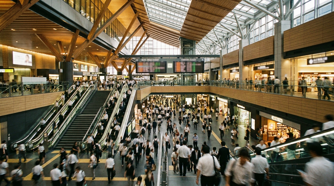
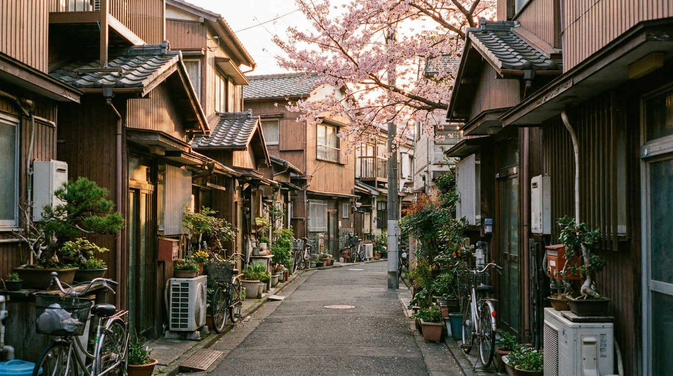
Tokyo's train network is the world's busiest. Shinjuku Station, used by 3.59 million people per day on average, is widely cited as having over 200 exits depending on how you count them. Restaurant reviews are mostly in Japanese. Without preparation, even simple errands take hours. With Google Maps and a few features most tourists overlook, you can move through Japan as smoothly as a local.
This guide focuses on what matters when you actually arrive: getting from the airport to your accommodation, finding the right train platform, choosing a restaurant from Japanese reviews, and walking the last 200 meters from the station exit to your destination. We will also point out what Google Maps cannot do well in Japan, so you know when to ask for help.
- Why Google Maps Works So Well in Japan
- Set Up Google Maps Before You Travel
- Route Search: Trains, Walking, and Local Buses
- Reading the Train Route Display Like a Local
- Live View: AR Walking Navigation Step by Step
- Reserve with Google: Booking Restaurants from the Map
- Ask Maps: Gemini-Powered Answers (New in 2026)
- 3D View and Immersive Navigation: Spotting Landmarks Before You Arrive
- Restaurant Reviews: Reading Japanese Feedback in Your Language
- What Google Maps Cannot Do Well in Japan
- Quick Tips Most Tourists Miss
- FAQ
Why Google Maps Works So Well in Japan
Japan's transit data is unusually well integrated with Google Maps. For most major train and subway lines, Google Maps shows:
- Departure platform numbers and a real-time countdown to the next train
- Recommended train car so you can position yourself near the transfer point or exit
- Subway exit codes like A7, B12, or 中央口 (Central Exit) at your destination station
- Walking time from your platform to the exit, and from the exit to your final destination
- Live updates if you miss a train—the route reshuffles automatically
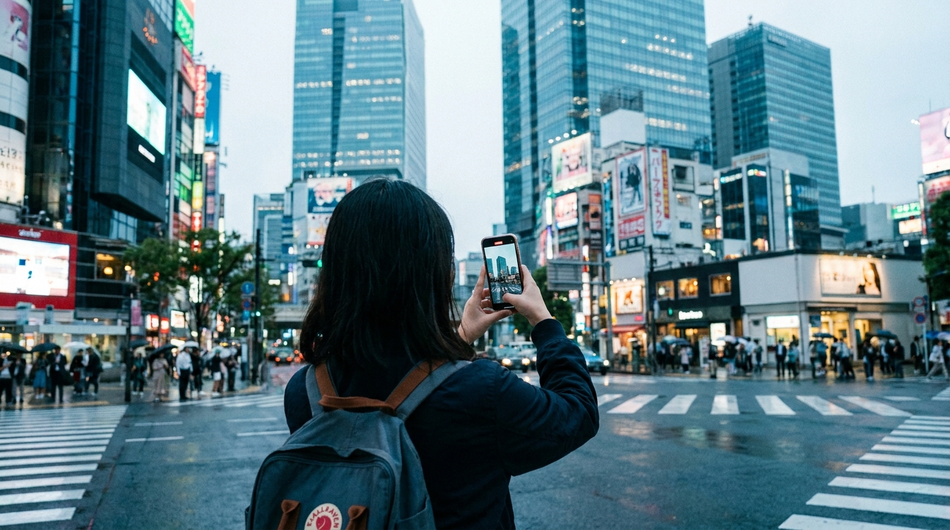
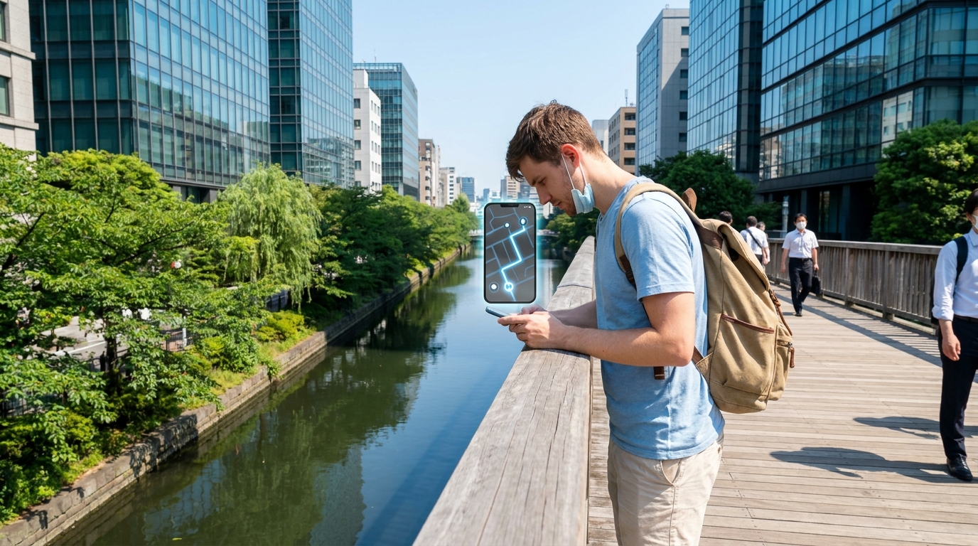
For walking, Google Maps offers Live View, an augmented reality mode that overlays directional arrows on your phone's camera feed. This is especially useful when you exit a station onto an unfamiliar street and cannot tell which direction is which.
For finding places, automatic review translation turns Japanese-only reviews into your default language, so you can read what locals actually think before you walk in.
Set Up Google Maps Before You Travel
Three things to do before you board your flight—doing them on Japan's airport Wi-Fi works too, but earlier is easier.
1. Download an offline map of your destination
Open Google Maps, search for "Tokyo," tap the place card at the bottom, and select Download offline map. Adjust the area frame to cover your travel zone (Tokyo + Yokohama + the area around your accommodation), then tap Download.
Offline maps in Japan support driving directions and place search/viewing only. Walking directions, train and subway route search, Live View, and review translation all require an internet connection. So an offline map is a backup for orientation, not a replacement for mobile data or pocket Wi-Fi.
2. Set your account language
Sign in to your Google account on the device you will use in Japan. Go to Settings → Account language and confirm it matches your preferred language (English, Spanish, French, etc.). This is what triggers automatic review translation later.
3. Sign in before you arrive
If you sign in only after you arrive in Japan, your saved places and language preferences may not sync correctly until you re-authenticate over Japanese Wi-Fi. Sign in at home, save a few starred locations (your hotel, the airport, places you want to visit), and they will all be ready when you land.
Route Search: Trains, Walking, and Local Buses
Type your destination into Google Maps, then tap the Directions button. Choose the train icon for transit. Google Maps will show several route options ranked by total time, with details like:
- Which train line to take (JR Yamanote, Tokyo Metro Ginza, etc.)
- Departure platform number
- Number of transfers
- Estimated fare in yen
- Walking time to and from each station
For routes mostly within Tokyo's 23 wards, accuracy is high. The app accounts for transfer walking time inside large stations like Tokyo, Shinjuku, and Shibuya, where you might walk 5–10 minutes between platforms.
Filtering routes that match your pass
If you have a Japan Rail Pass or a regional pass, use the Options menu (the slider icon) to prioritize JR-only routes or set "fewer transfers" as your preference. This helps you avoid private lines like Tokyo Metro that are not covered by the JR Pass.
Walking time accuracy
Google Maps calculates walking time using a flat metric of roughly 80 meters per minute, and in Japan this often underestimates the real time you need. The algorithm does not account for waiting at large multi-lane crosswalks (Shibuya scramble, Shinjuku south exit), weaving through dense tourist crowds in Asakusa or Gion, or navigating long underground passages between subway lines. Most tourists should add 20–50% more time to Google's walking estimate—if it says 12 minutes, plan for 15–18.
Add even more buffer if you are carrying luggage, walking with children, or moving in heavy rain or summer heat.
Local buses: mostly reliable, with a few gaps
Bus route coverage on Google Maps in Japan has improved significantly. After Japan's Ministry of Land, Infrastructure, Transport and Tourism subsidized adoption of the GTFS-JP transit data standard, the vast majority of Japanese bus operators—including major ones like Toei Bus and Keio Bus in Tokyo, plus most regional operators—are now reliably tracked.
Where data still lags: ultra-local municipal community buses (コミュニティバス / Komi-bus) in rural areas may be missing or outdated. If a bus is critical to your plan (for example, getting to a remote ryokan or a mountain trailhead), confirm with the operator's official website or your accommodation.
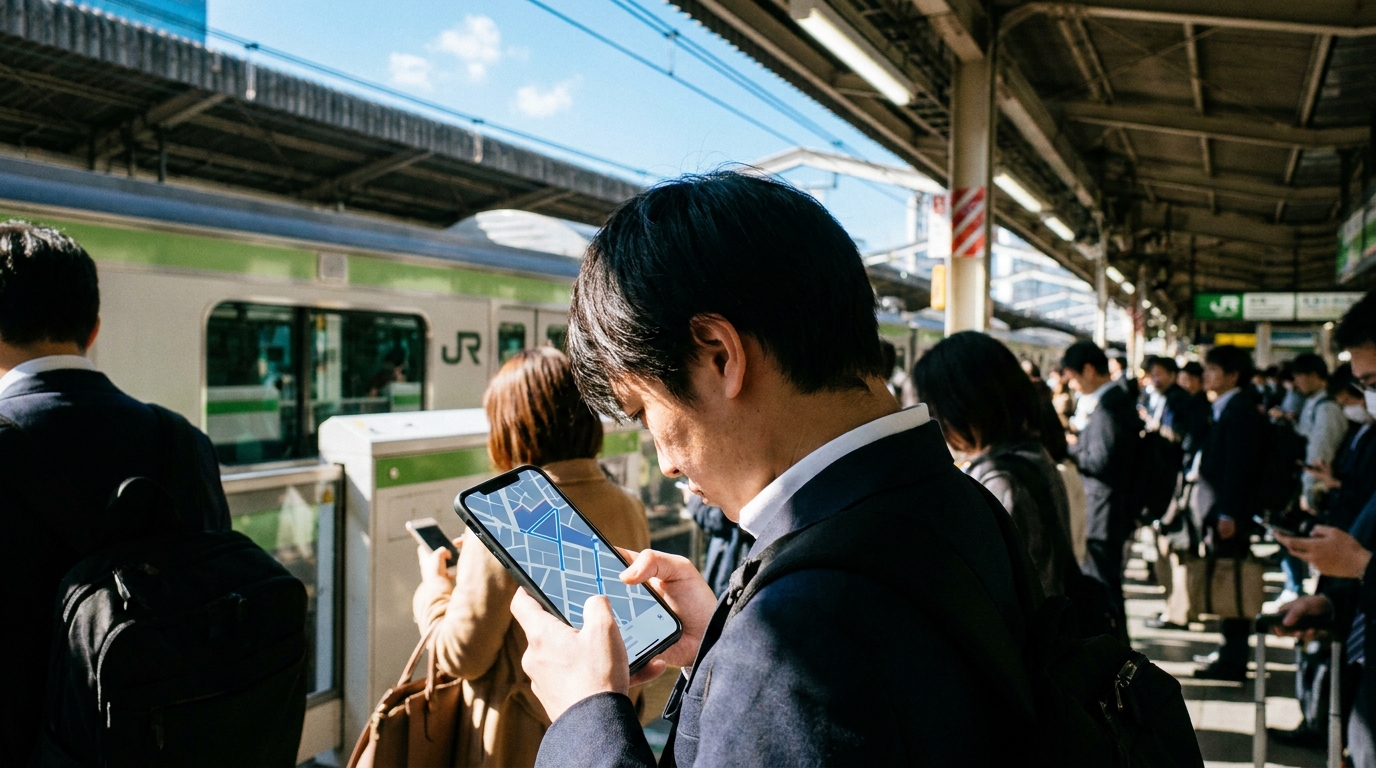
Reading the Train Route Display Like a Local
This is where Google Maps in Japan becomes genuinely impressive. After you pick a route, tap Steps or Details to expand the full breakdown.
Platform numbers and countdown
For most JR and Tokyo Metro lines, you will see something like:
Platform 4 · Train departs in 6 min · Direction: Shinjuku
Walk to that platform number. The countdown updates as you go, so you know whether you are racing or have time to grab a drink from the platform vending machine.
Recommended train car
Some stations show a car number recommendation—for example, "board car 7" if that car aligns with your transfer staircase or exit at the destination. This is unique to Japan's data integration and saves you from walking the length of the platform after you get off.
The car number is shown both on the platform floor and on overhead signs. If you do not see a car number suggestion, it usually means alignment is not critical for that route.
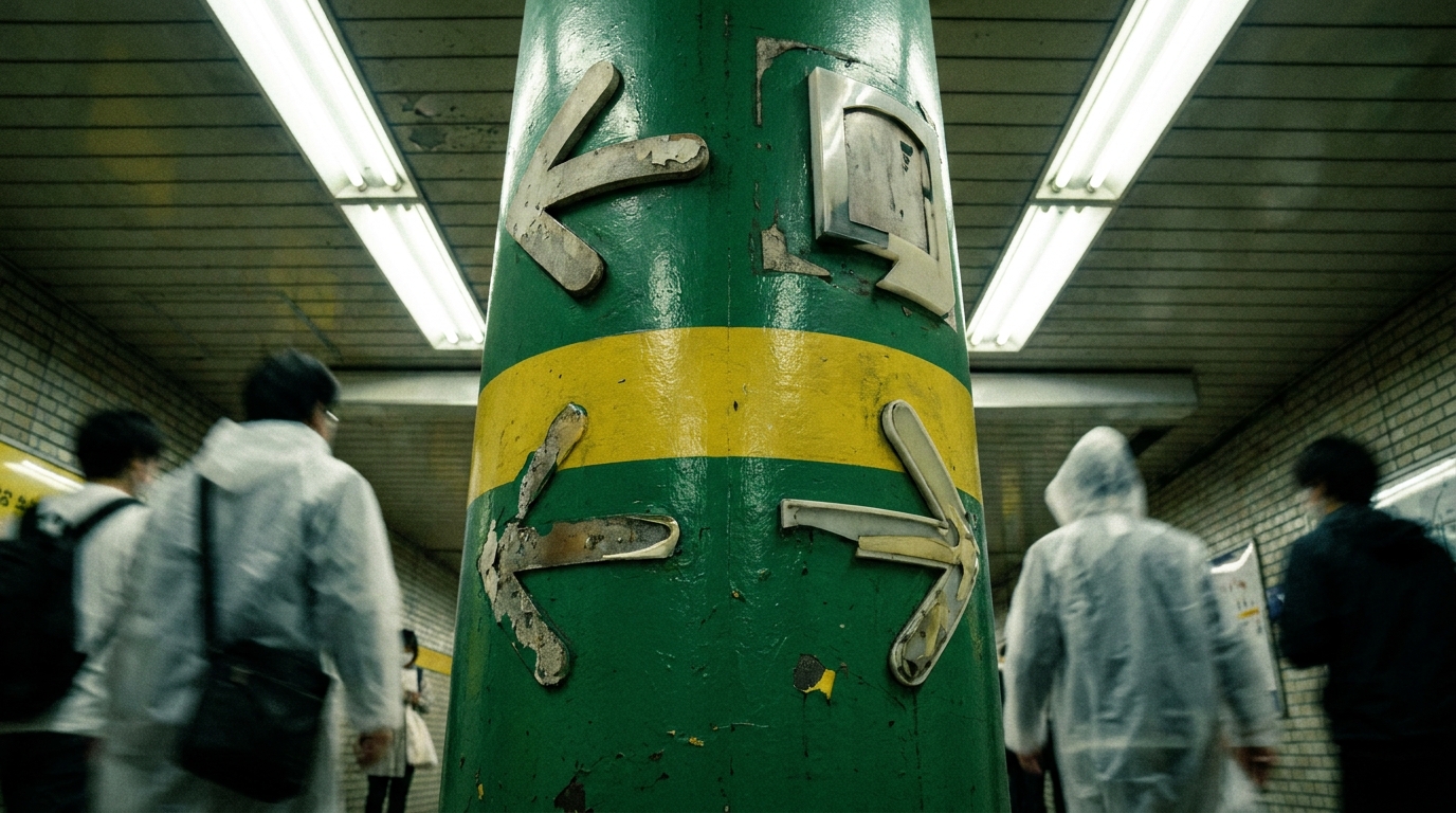
Station exit codes (A1, B12, 中央口)
When you arrive at your destination station, Google Maps tells you the exit number to use. Subway stations in Tokyo use letter+number codes like:
- A1, A2, A3… for the A-line of exits (one side of the station)
- B1, B2, B3… for the B-line
- C, D, E lines at large stations like Otemachi or Shinjuku
JR stations more often use Japanese exit names like 中央口 (Chuo-guchi / Central Exit), 東口 (Higashi-guchi / East Exit), 西口 (Nishi-guchi / West Exit), 南口 (Minami-guchi / South Exit), 北口 (Kita-guchi / North Exit). Google Maps shows both the Japanese and the English label.
Choosing the right exit matters because Tokyo subway stations are huge—exiting from the wrong side can add 10 minutes of walking and a confused moment of "which way now?" on the surface.
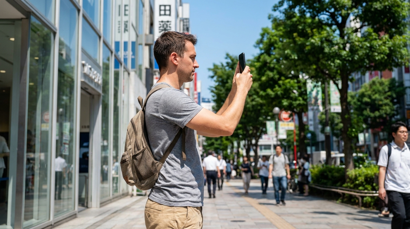
Live View: AR Walking Navigation Step by Step
Live View uses your phone's camera to overlay directional arrows on what you see, so you do not have to interpret a 2D blue dot rotating on a flat map. It is especially helpful for the first 100 meters after you exit a station, when GPS alone is unreliable in dense urban areas.
When to use Live View
- You just emerged from a subway station and have no idea which direction is which
- You are inside a complex station like Tokyo, Shinjuku, or Shibuya and need to find the right exit (Indoor Live View)
- The destination is within a 5–10 minute walk of your current location
How to activate it
- Enter a destination and choose Walking
- Tap Live View at the bottom of the screen (the icon with two vertical bars and an arrow)
- Hold up your phone and slowly point the camera at nearby buildings, signs, or landmarks
- Wait 2–3 seconds for the AR arrows to anchor
Once the system locks onto your surroundings, you will see a large directional arrow floating in the air on your screen, plus distance to your destination. Lower your phone and walk normally—Live View pauses to save battery and resumes when you raise the phone again.
Indoor Live View: a Tokyo specialty
In addition to outdoor walking, Google has rolled out Indoor Live View at major Japanese stations and airports. As of 2026, coverage includes:
- Major JR East terminal stations: Tokyo, Shinjuku, Shibuya, Shinagawa, Ueno, Ikebukuro, Shimbashi, Akihabara
- Significant portions of the Toei Subway network: Daimon, Otemachi, Roppongi, Kokuritsu-Kyogijo (National Stadium), and stations along the Oedo and Asakusa lines
- Major airports: Haneda and Narita
Inside one of these stations, open Google Maps, tap the station card, and look for the Live View option. Hold up your phone and point the camera around. Arrows will guide you to the right platform or exit, even underground where GPS does not work.
Limitations
- Live View needs reasonable lighting—nighttime accuracy drops
- Battery drains noticeably (around 1% per minute of active use)
- Crowded streets and reflective surfaces can confuse the AR anchor for a few seconds
- Coverage outside major cities is uneven; in rural towns, the standard 2D walking view is more reliable
Reserve with Google: Booking Restaurants from the Map
A common surprise for tourists: Google Maps in Japan now supports direct restaurant reservations for thousands of venues. Through partnerships with TableCheck, Gurunavi, and select Tabelog listings, you can:
- Search for a restaurant on Google Maps
- Check real-time availability for the time and party size you want
- Book directly inside the Maps app—no need to call or visit a Japanese website
The "Reserve a table" button appears on the place card if the restaurant supports it. Confirmations come via email in your account language.
Coverage is strongest for mid- and upper-tier restaurants in Tokyo, Osaka, Kyoto, and other major tourist cities. Smaller mom-and-pop shops, ramen counters, and very high-end omakase restaurants may still require a phone call or a third-party platform.
Ask Maps: Gemini-Powered Answers (New in 2026)
A 2026 addition worth knowing: Google Maps now includes Ask Maps, a Gemini AI-powered conversational layer that lets you ask natural-language questions about restaurants and places. Examples:
- "Does this izakaya have an English menu?"
- "Is this place good for solo travelers?"
- "Where's a vegetarian-friendly ramen shop near Shinjuku?"
Ask Maps synthesizes information from reviews, place details, and structured data to give you a contextual answer right on the place card—often saving you the time of scrolling through 50 reviews to confirm one detail. It is especially useful for filtering Japanese-language reviews on questions tourists actually care about (allergens, payment methods, accessibility, kid-friendliness).
The feature is rolling out gradually; if you do not see it on a particular venue, fall back to the standard reviews and translation.
3D View and Immersive Navigation: Spotting Landmarks Before You Arrive
When you are unfamiliar with a neighborhood, the 3D view in Google Maps lets you preview what your destination actually looks like before you arrive—useful for a small restaurant on a side street, a hotel entrance hidden behind a flower shop, or a temple set back from the road.
How to enable 3D
- Search for or zoom in on your destination
- Tap the map style button (usually shown as stacked layers in the upper right)
- Select Globe or pinch with two fingers to tilt the map until you see buildings rendered in 3D
You can rotate the view by dragging two fingers in a circular motion. This is particularly useful in Tokyo neighborhoods like Shibuya, Shinjuku, or Ginza where exits and landmarks are tightly packed.
When 3D actually helps
- Identifying which side of a busy intersection your destination is on
- Spotting a tall landmark (Tokyo Tower, Skytree, a department store) and using it as your reference point
- Previewing the building shape before you arrive—"the L-shaped grey building next to the convenience store"
3D view does not work in all areas, but coverage in central Tokyo, Osaka, Kyoto, and other major cities is strong.
Immersive Navigation (2026 update)
In central Tokyo, Kyoto, and Osaka, Google Maps now defaults driving directions to a 3D Immersive Navigation view that renders nearby buildings, traffic lights, multi-level highway merges, and crosswalks in detail. For tourists driving rental cars or following a taxi route on screen, this makes complex Tokyo Expressway interchanges far easier to follow than the old 2D blue line.
For walking, the standard 2D map and Live View remain primary, but you can pinch-tilt anywhere in central Japan's biggest cities to see the same 3D rendering for orientation.
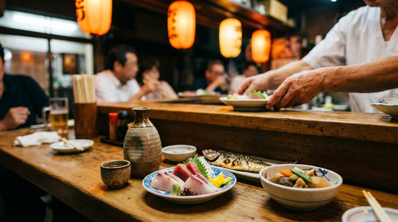
Restaurant Reviews: Reading Japanese Feedback in Your Language
For most restaurants in Japan, the majority of reviews are in Japanese. Reviews from foreign tourists exist but are often shallow ("Great ramen!") and miss the nuance Japanese reviewers bring. Google Maps' automatic translation lets you read both.
How automatic translation works
If your account language is set to English (or Spanish, French, Chinese, Korean, etc.), Google Maps shows reviews in your language by default. Below each translated review you will see the original Japanese text plus a small "Translated by Google" tag.
The translation uses Google's neural machine translation model, which handles food and travel vocabulary reasonably well. Subtle expressions about taste, service, and atmosphere translate decently—not literary, but understandable.
What to look for in Japanese reviews
Japanese reviewers often write longer, more specific reviews than English reviewers. Patterns to watch:
- コスパが良い (cospa ga yoi / good cost-performance): a frequent compliment, meaning fair price for quality
- 店員さんの対応が丁寧 (the staff's service is polite): indicates good hospitality
- 行列ができる (a line forms): popular and possibly worth the wait
- 量が多い / 量が少ない (large/small portions): portion comments, useful if you have specific appetite needs
- 場所が分かりにくい (the location is hard to find): hint that you should check Live View before you go
Opening hours and holiday closures
Always check the Hours section. Many small restaurants in Japan close for a couple of hours in the afternoon (15:00–17:00) or take an irregular weekly holiday (定休日 / teikyu-bi). Google Maps usually shows these correctly, but some smaller places update slowly. If you are heading somewhere you cannot easily replace—a remote ramen shop, a chef's-counter restaurant—a quick phone call (or asking your accommodation host to call) confirms the hours before you commit to the trip.
Star ratings: useful but not the whole story
Google Maps star ratings in Japan trend half a star to a full star lower than in the US for similar quality. A 3.8 in Tokyo is a very good restaurant; a 4.5+ is exceptional. Compare ratings within the same city rather than across countries.
What Google Maps Cannot Do Well in Japan
Knowing the limits saves you from frustration when something does not work as expected.
Real-time delays for some private lines
Google Maps shows real-time delay information for JR and Tokyo Metro reasonably well. Smaller private lines and regional rail can be slower to reflect delays. If you are on a tight transfer in heavy weather, confirming on the official line's app or station announcements is wise.
Bus routes for small operators
As mentioned earlier, regional bus operators with small route networks may have outdated or missing data. Plan critical bus connections with the operator's website.
Restaurant reservation gaps
Reserve with Google covers thousands of mid- and upper-tier restaurants in Japan's major cities (see the dedicated section above). However, gaps remain for:
- Small mom-and-pop shops and counter-only ramen places
- Very high-end chef's-counter omakase (often phone-only or invitation-based)
- Some traditional ryokan dinner reservations
For these, expect to call directly through the place card, jump to Tabelog or the restaurant's own site, or ask your accommodation host to book on your behalf.
Indoor maps for non-station buildings
Indoor Live View works at major train stations. For department stores, museums, and shopping malls, Google Maps usually shows you the building footprint but not floor-by-floor navigation. For department stores like Isetan Shinjuku or Ginza Six, refer to the store's printed floor guide at the entrance.
Address ambiguity
Japanese addresses use a block-and-number system rather than street numbers, which can confuse Google Maps in dense neighborhoods. The pin location is usually within 30–50 meters, but in alleyways or large complexes, you may arrive next door. Live View helps a lot here—when in doubt, hold up your phone.
Quick Tips Most Tourists Miss
Eight small habits that improve your experience noticeably.
- Star your accommodation immediately after booking. A starred home location syncs across devices and shows up first when you search for routes.
- Save "Home" and "Work" pins as your accommodation and your daily base (a coworking space, a meeting venue). Routes from "Current location" to "Home" become one tap.
- Add a mobile transit card if you use an iPhone (iPhone 8 or newer). Apple Wallet supports Suica and PASMO globally on iPhone 8 and later models, including foreign-purchased ones. You can add and recharge a Suica card before or during your trip. Foreign Android phones generally cannot, because most Android devices sold outside Japan lack the FeliCa chip required by Japanese transit. Android tourists (and iPhone 7 owners) should pick up a physical Welcome Suica card at the airport instead. Note: PASMO Passport for short-term tourists was discontinued in August 2024 — replaced by Tourist Pasmo, launched May 20, 2026.
- Use Lists to plan. Group restaurants, sights, and shopping spots into named lists ("Tokyo Day 1," "Kyoto food"). Lists are visible offline once downloaded.
- Long-press a spot to get its exact coordinates. Useful when sharing a meeting point with a friend whose phone has different language settings.
- Two-finger tilt for 3D, then rotate to find your bearings after exiting a station.
- Speak voice search in your own language. Voice recognition in Google Maps handles English, Spanish, French, etc., even while you are in Japan.
- Take a screenshot of the offline map area before a long train ride. If your battery dies later, the screenshot is a low-power backup.
FAQ
Q1. Does Google Maps work without internet in Japan?
Partially. Offline maps support driving directions and place search/viewing if you downloaded the area in advance. Walking directions, train and subway route search, Live View, and review translation all require an internet connection. Pocket Wi-Fi or an eSIM keeps you connected reliably.
Q2. How accurate are Google Maps walking times in Japan?
Google Maps tends to underestimate walking time in Japan, since the algorithm does not account for crosswalk waits, dense crowds, or long underground passages. Add 20–50% to Google's estimate as a buffer—if it says 12 minutes, plan for 15–18.
Q3. Can Google Maps show me the right train car to board?
For many major routes—especially JR and Tokyo Metro—yes. Look for the "Board car X" line in the route details. The number aligns you near transfer stairs or your destination exit.
Q4. What does an exit code like A7 or B12 mean?
Tokyo subway stations label exits in lettered series (A, B, C…) with numbered exits in each series. A7 means the seventh exit on the A side. JR stations usually use Japanese names (中央口 / Central Exit, 東口 / East Exit, etc.) instead.
Q5. Will Google Maps automatically translate Japanese restaurant reviews?
Yes, if your Google account language is set to English (or another supported language). Reviews appear in your language with a "Translated by Google" tag. The original Japanese is shown below.
Q6. Is Live View worth using?
Yes, especially the first 100 meters after exiting a subway station, and inside large stations like Tokyo, Shinjuku, and Shibuya where Indoor Live View is available. It drains battery faster than the standard view, so use it in bursts.
Q7. Can I book a restaurant through Google Maps in Japan?
For thousands of mid- and upper-tier restaurants in major cities, yes—Reserve with Google integrates with TableCheck, Gurunavi, and select Tabelog listings. Look for the "Reserve a table" button on the place card. For small counter-style shops, very high-end omakase, and some ryokan dinners, you may still need to call directly or ask your accommodation host.
Q8. How reliable is Google Maps for buses in Japan?
Reliable for major operators like Toei Bus and Keio Bus, plus most regional operators since the GTFS-JP data standard was widely adopted. Ultra-local rural community buses (コミュニティバス) may still be missing or outdated—confirm critical bus connections with the operator directly.
Q9. What if Google Maps sends me to the wrong building?
Japanese addresses are block-based rather than street-based, so the pin can land 30–50 meters off in dense neighborhoods. Switch to Live View, or look around for the actual building name and signage.
Q10. Can I use Suica or PASMO on my phone in Japan?
It depends on the device. iPhone 8 and newer support Suica and PASMO globally through Apple Wallet, including foreign-purchased devices. iPhone 7 and older, and most foreign-purchased Android phones do not, because they lack the FeliCa chip required by Japanese transit. If you cannot use a mobile card, pick up a physical Welcome Suica at the airport. (PASMO Passport for short-term tourists was discontinued in August 2024 — replaced by Tourist Pasmo, launched May 20, 2026.)
Note: Train operations and app features can change. Verify critical schedules on the operator's official site, especially around holidays and during typhoon or snow events.
Last updated: April 2026.


Comments